

Locating oil and gas reserves used to be a bit of a game,
with a little bit of observation and geological interpretation, and a lot of
luck. Sometimes surface features such as oil seeps and pockmarks might have highlighted the presence of hydrocarbons. However, often drills were sunk in areas close to where oil and gas had
already been found in the hope that there would be more. Nowadays, exploration
depends on highly sophisticated technology, specially trained professionals and
a lot of investment.
The first stage to any type of exploration is always a desk
study. This will involve using resources, such as maps and drill hole data,
which have already been collected to look for areas of interest. Scientists
will then recommend which more in-depth surveys should be conducted. A lot of
data can be found on free to access websites, such as Geoview of Minview, as governments encourage exploration in their area,
to enrich the economy and provide jobs. Other factors will also have to be
considered, such as if there are any special conservation considerations,
including ecologically and historically significant sites. If the site is
offshore, the bathymetry of the area is also important as deeper water will
raise the cost of extraction drilling and generally be more technically
challenging.
- To learn more about how to use Geoview watch this tutorial video

The time taken for
the sound waves to return to the surface will depend on the density and
thickness of the rock layers (Wikipedia,
accessed 16/6/2020).
The next stage of exploration for oil and gas is usually to
conduct geophysical surveys. Magnetic and gravity surveys can be used to assist
with interpretation; however, often the most information is gleaned from
seismic studies. Seismic surveys work a bit like how bats and dolphins use
echolocation. Sound waves are set off from a survey ship or Vibroseis truck and
these penetrate the rock layers below. Some waves will get reflected at shallow
rock boundaries and others will continue to deeper boundaries before being
reflected. The reflected waves are recorded by geophones (on land) or
hydrophones (on water) and their travel time back to the surface is recorded.
This data is used to build a picture of the subsurface.
- For more information and a hands on activity relating to seismic studies read Seismic Acquisition

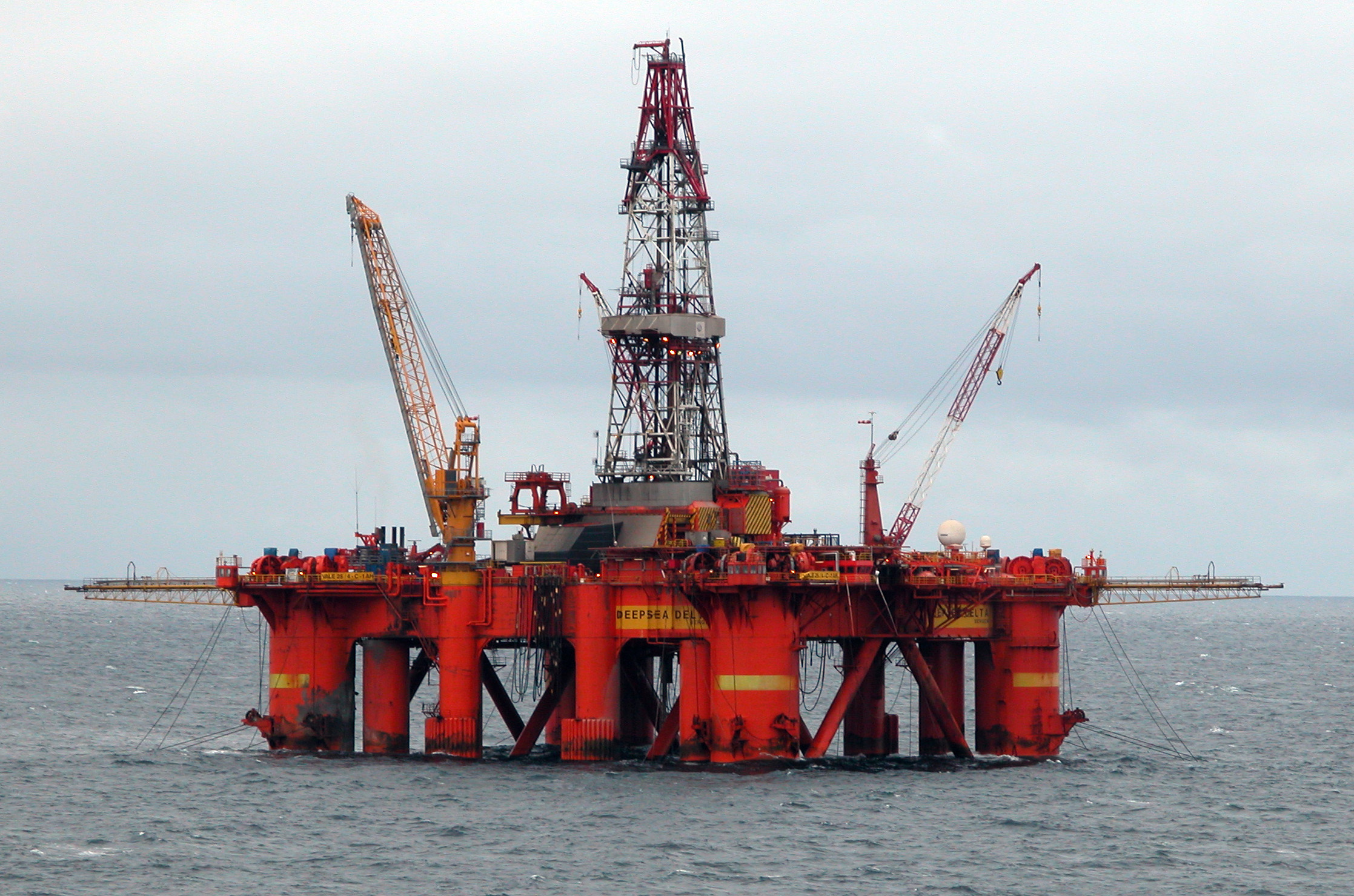
This type of oil
platform is commonly used for offshore drilling in the North Sea (Wikimedia,
accessed 16/6/2020).
Once a hydrocarbon prospect has been identified and approval
has been granted from the government, exploration drilling can commence. The
type of drill rig used will depend on the location of the oil and gas reservoir.
Some drill rigs may even be housed on specially designed ships, if they are
working in very deep water. During the drilling process core samples are taken
for analysis. This provides more information about the rock types, presence (or
absence) of oil and gas, permeability of the rocks and other important
properties.
- For a hands-on activity have a go at Exploration Drilling or watch the video here.
- For more information on oil formation and exploration watch this short video